Colorado Maps
Maps of Colorado's river's, trails and roads. Fishing locations, hiking trails and 4x4 road maps help you explore the region offline.

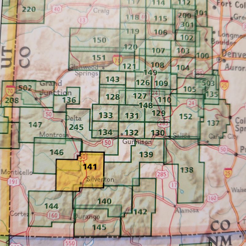
National Geographic Maps Telluride, Silverton, Ouray, Lake City - #141
National Geographic Maps Telluride, Silverton, Ouray, Lake City - #141
An illustrated map of Telluride, Silverton, Ouray, and Lake City provides an unparalleled tool for exploring this breathtaking region of Western Colorado.
$14.95

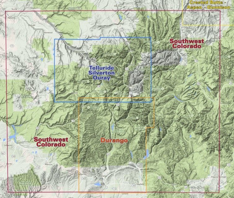
Southwest Colorado Trails Recreation TOPO Map
Southwest Colorado Trails Recreation TOPO Map
Southwest Colorado Trails Recreation TOPO Map
$16.95

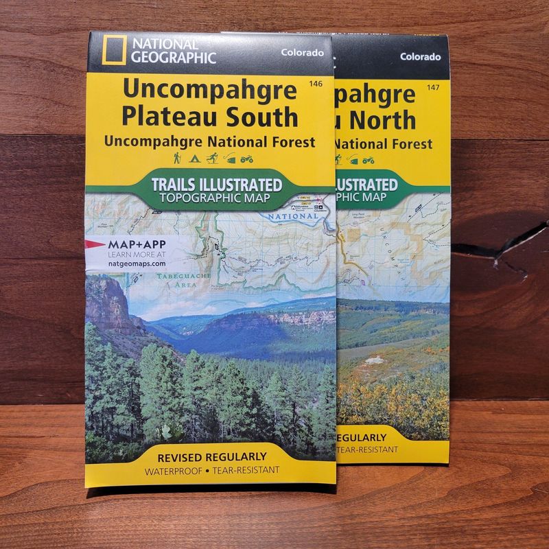
National Geographic Maps Uncompahgre Plateau - North #147
National Geographic Maps Uncompahgre Plateau - North #147
National Geographic's Trails Illustrated map of Uncompahgre Plateau North is created for outdoor enthusiasts exploring the year-round recreational opportunities in this unique area in southwestern Colorado.
$14.95

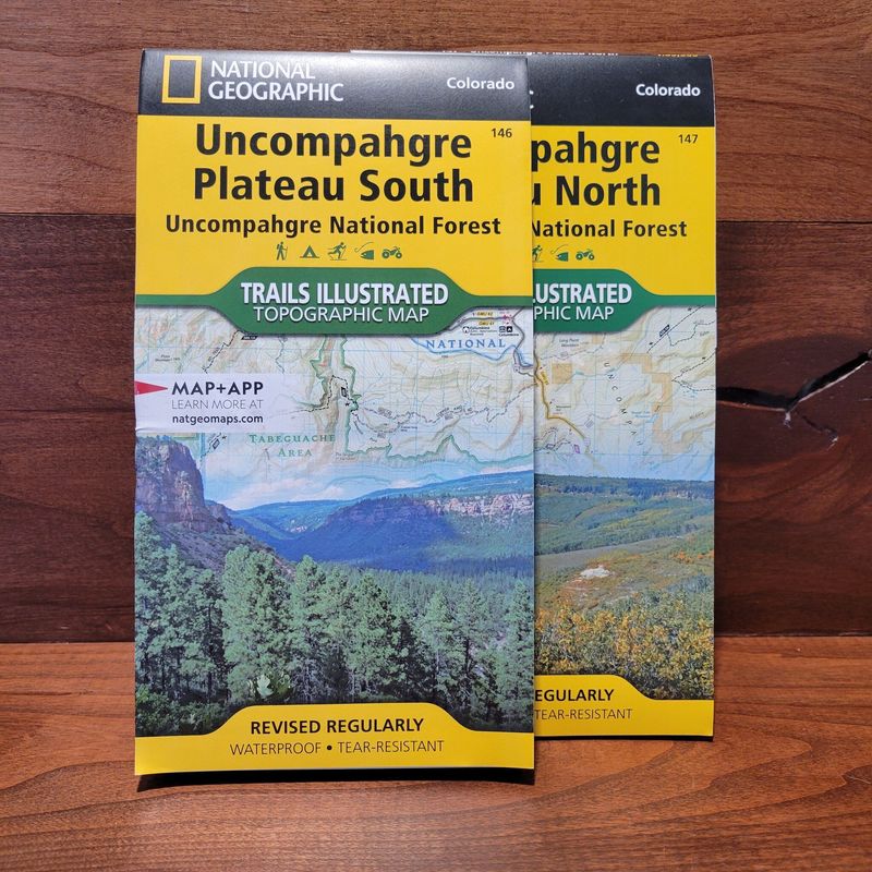
National Geographic Maps Uncompahgre Plateau - South #146
National Geographic Maps Uncompahgre Plateau - South #146
National Geographic's Trails Illustrated map of Uncompahgre Plateau South is created for outdoor enthusiasts exploring the year-round recreational opportunities in this unique area in southwestern Colorado.
$14.95

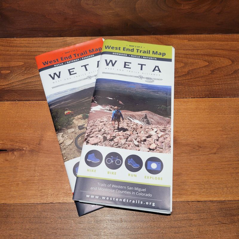
WETA Map 1
WETA Map 1
Trail Map showing areas around Nucla, Gateway, and Patadox. Great resource your looking to get out hiking or biking.
$14.95

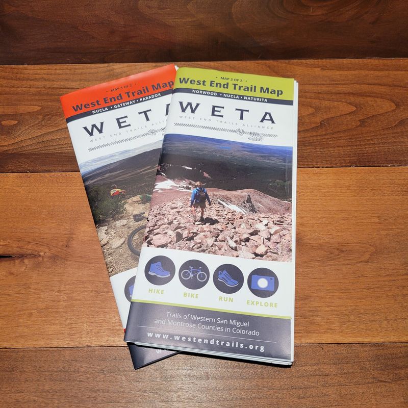
WETA Map 2
WETA Map 2
A comprehensive trail map of western San Miguel and Montrose counties in Colorado.
$14.95

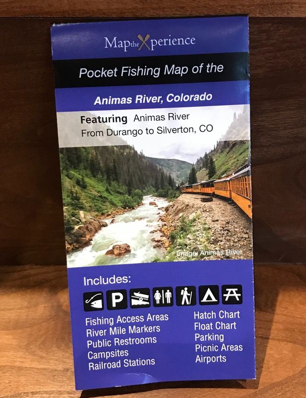
Map The Xperience Fishing Maps -
Map The Xperience Fishing Maps -
With Map The Xperience we have helped create maps for your favorite regional fish rivers. Combining our expertise and local input, we have created maps that help you get the most of your adventure!
$9.95

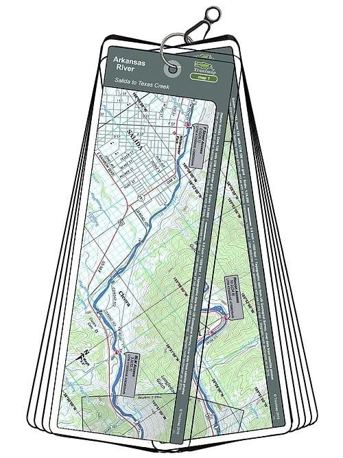
Arkansas River Troutmap
Arkansas River Troutmap
This Arkansas River Troutmap is handheld and waterproof - Ideal for the fisherman, rafter, or kayaker.
$24.95

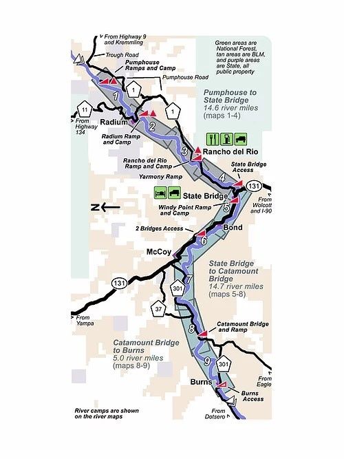
Colorado River Troutmap - Pumphouse to Dotsero Combo
Colorado River Troutmap - Pumphouse to Dotsero Combo
This Colorado River Troutmap is handheld and waterproof - Ideal for the fisherman, rafter, or kayaker.
$44.95

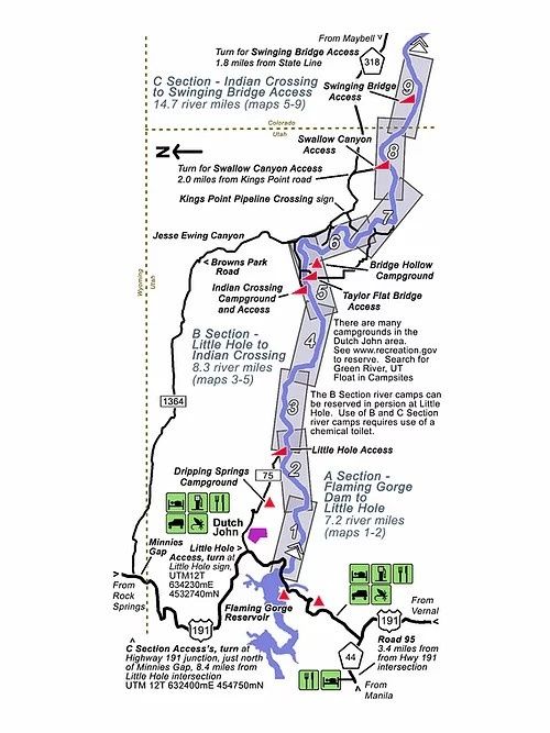
Green River Troutmap - ABC Combo, Flaming Gorge Dam To Swinging Bridge
Green River Troutmap - ABC Combo, Flaming Gorge Dam To Swinging Bridge
This Green River Troutmap is handheld and waterproof - Ideal for the fisherman, rafter, or kayaker.
$38.95

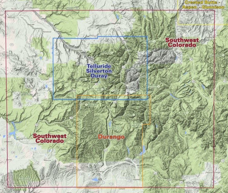
Telluride-Silverton -Ouray Trails Map
Telluride-Silverton -Ouray Trails Map
Accurate and detailed trails map of Telluride, Silverton, and Ouray region.
$16.95

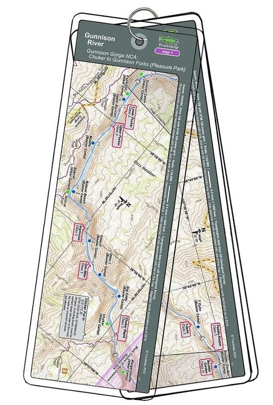
Gunnison Gorge NCA - Chukar to Gunnison Forks (Pleasure Park)
Gunnison Gorge NCA - Chukar to Gunnison Forks (Pleasure Park)
This map set follows Colorado's Gunnison River for 13.5 miles through the Gunnison Gorge Wilderness and the Gunnison Gorge National Conservation Area from the put-in at Chukar to the take out at Gunnison Forks (Pleasant Park).
$24.95

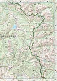
Colorado Atlas & Gazetteer
Colorado Atlas & Gazetteer
The Colorado Atlas & Gazetteer is your most comprehensive guide to Colorado's backcountry and busy streets.
$29.95

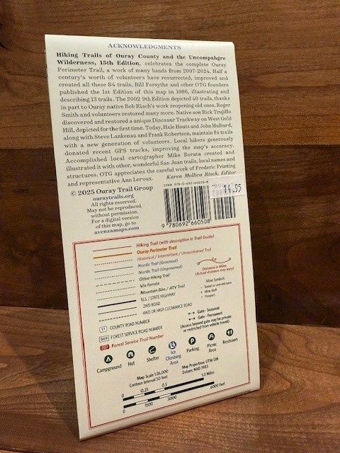
Hiking Trails of Ouray County & the Uncompahgre Wilderness 15th Edition
Hiking Trails of Ouray County & the Uncompahgre Wilderness 15th Edition
Comprehensive 15th edition hiking guide for Ouray County & Uncompahgre Wilderness. Includes detailed maps, trail descriptions, and insider tips for all skill levels.
$14.95